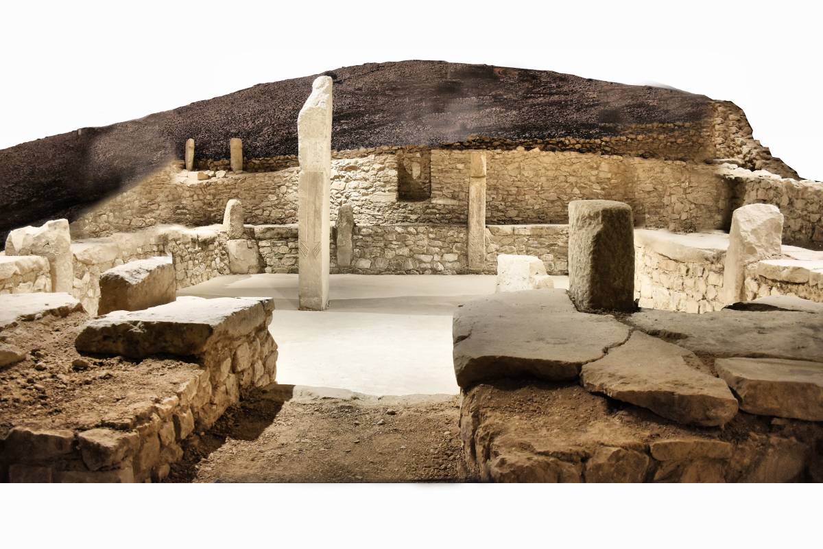
Description
Hilvan is the district receiving the highest rainfall in the Şanlıurfa Province. The annual average precipitation per square metre in the district is 771.8 kg. The climate is characterised by hot and dry summers and cold, wet winters. The annual average temperature is 18.2 degrees Celsius. Hilvan is a typical Anadolu town situated 54 km north of Şanlıurfa. To the south of the district lies Şanlıurfa, to the southwest Bozova, to the east and north Siverek, and to the west Fırat Göl Havzası. The elevation of the district's terrain decreases from the southeast towards the west, giving it a gently undulating plateau appearance.
The altitude of our district above sea level is 600 metres, with its highest point being 800 metres at Korçik Tepesi. The district covers an area of 1278 square kilometres. The terrain near the banks of the Fırat River is partly rugged and rocky, while the other areas have a plain-like appearance.